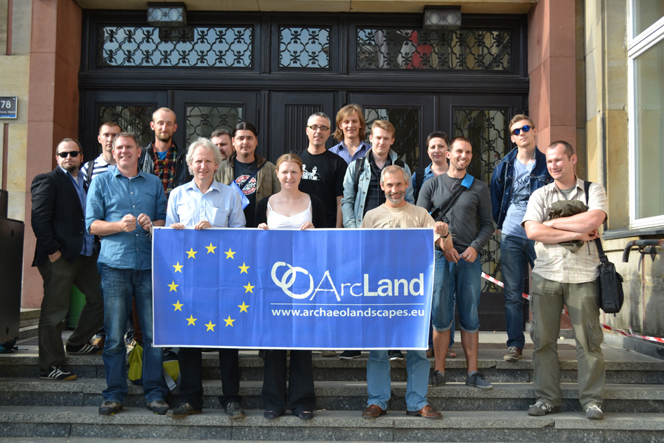
LiDAR workshop in Poznan
Training School: LiDAR – innovative technology for archaeology
Date: June 24th-28th, 2013
Place: Poznań (Poland), Institute of Prehistory, Adam Mickiewicz University
Programme:
The main aim of LITA will be to understanding of practical methods for data capture, processing algorithms and formal analysis of the results, as well as how LiDAR data can be used to develop appropriate archaeological inferences. The course considers LiDAR/ALS data and will be taught using a combination of lectures and practical sessions.
The main aim of the school is to give students understanding of practical methods for data capture, processing algorithms and formal analysis of the results, as well as how LiDAR data can be used to develop appropriate archaeological inferences. The course considers airborne laser scanning method. The course will be taught using a combination of lectures and practical sessions. This course provides students with a detailed knowledge of the theory, method, equipment and software associated with LiDAR technology for archaeology. It allows students to develop key skills frequently expected in landscape archaeology as well as management of archaeological heritage.
Pariticipants:
The school is organised for (maximum) fourteen (14) MA and PhD archaeology students as well as professional archaeologists mostly from Central Europe and working on past landscape projects.
Organiser:
Institute of Prehistory, Adam Mickiewicz University in Poznań
Włodzimierz Rączkowski
This e-mail address is being protected from spambots. You need JavaScript enabled to view it
More details:
http://archeo.amu.edu.pl/lidar/
Grants:
A limited number of grants are available from the ArchaeoLandscapes project: see https://www.archaeolandscapes.eu/index.php/en/outreach/grants.html. Please note, the deadline for applications is 12 April 2013, 14:00 h (Poznan time).Related Articles
- CMA aanounced as Associated Partner
- Training and Research on the Archaeological Interpretation of Lidar: TRAIL 2011
- Landscape change
- Lidar DEM visualizations
- Archaeological remote sensing helps to identify ancient Rome’s military activities, campaigns and installations.
- Introduction to aerial photographs
( 0 Votes )
Last Updated (Friday, 21 June 2013 08:16)


