GreekEspañolNederlandsRomânăEnglish
Login
Close


  • Forgot your password?
  • Forgot your username?
  • Home
  • About
    • Aims
    • Work Package
    • GMB
    • Funding
    • Previous projects
    • Partners
    • Contact Us
    • ArcLand resources
  • News & Events
    • News
    • Events Calendar
    • World News
  • Capture
    • Aerial Photography
    • UAV & Kites
    • lidar
    • Satellite
    • Geophysics
  • Interpret
    • Interpret & Mapping
    • Cropmarks
    • Soilmarks
    • Topography
    • Hyperspectral
    • Geophysical
    • Landscape Change
    • GIS Integration
  • Outreach
    • Archives
    • Training Schools
    • Workshops
    • Exchange visits
    • Teaching
    • Sharing Data
    • Publications
    • Exhibitions
    • Conferences
    • Grants
    • Guides & Best Practice
    • Tools
  • Case Studies
    • Aerial Imagery
    • Geophysics
    • Lidar
    • Multi-Spectral
    • Integrated Research
  • Resources
    • Web Links
    • Documents
    • Image Gallery
    • Forum
    • Sitemap
    • Tags
    • Terms and Conditions
    • Privacy Policy
    • Search
    • Tools
  • Archives
  • Training Schools
  • Workshops
  • Exchange visits
  • Teaching
  • Sharing Data
  • Publications
  • Exhibitions
  • Conferences
  • Grants
  • Guides & Best Practice
  • Tools
Home Outreach Conferences ArcLand Conference "k2 > u2 - From Known Knowns to Unknown Unknowns: Remotely Detecting the Past"

ArcLand Conference "k2 > u2 - From Known Knowns to Unknown Unknowns: Remotely Detecting the Past"

postdateiconFriday, 22 February 2013 13:32 | postauthoriconWritten by Rob Sands | PDF | Print | E-mail

k2 > u2

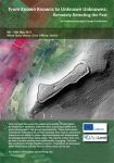
Extent of Hill iof Tara LiDAR survey

From Known Knowns to Unknown Unknowns: Remotely Detecting the Past

9th - 10th May 2013

Wood Quay Venue, Civic Offices, Dublin/Ireland

Over the past few years the extent and quality of information available from satellites, airborne laser scanning (LiDAR) and aerial photography has grown exponentially. These techniques, collectively referred to as remote sensing, have had an enormous impact on our ability to reveal past landscapes and disseminate knowledge about those landscapes. The results of this work can be both visually exciting and intellectually engaging.

This two day conference brought together a series of speakers to showcase these techniques and the uses to which they can be put. The conference specifically explored how remotes sensing and its results can be used within the sectors of:

  • Heritage management and legislation
  • Education including: secondary, third level and continual development
  • Community heritage and citizen science

icon Download the conference flyer with the preliminary programme! (693.63 kB)

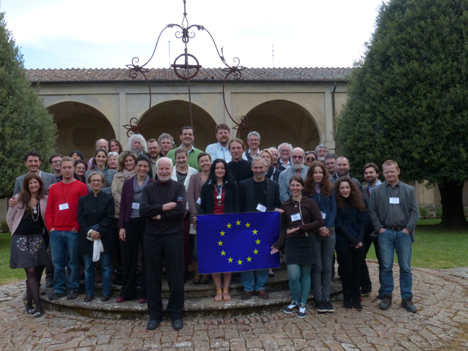
Make sure to come back to this page to see some pictures with impressions of the meeting!


  • 1
  • 2
  • 3
  • 4
  • 5
( 6 Votes )

Last Updated (Tuesday, 14 May 2013 13:35)

 
30th CONFERENCE of the AERIAL ARCHAEOLOGY RESEARCH GROUP (AARG)
29 April 2013, 08.13
30th CONFERENCE of the AERIAL ARCHAEOLOGY RESEARCH GROUP (AARG)
We are pleased to announce that abstract submission is now open for the 30th CONFERENCE of the AERIAL ARCHAEOLOGY RESEARCH GROUP (AARG)! This annual
Read More
ArcLand Conference "k2 > u2 - From Known Knowns to Unknown Unknowns: Remotely Detecting the Past"
22 February 2013, 13.32
ArcLand Conference u2 - From Known Knowns to Unknown Unknowns: Remotely Detecting the Past"" title="ArcLand Conference "k2 > u2 - From Known Knowns to Unknown Unknowns: Remotely Detecting the Past"" border="0" height="90px"/>
k2 > u2 From Known Knowns to Unknown Unknowns: Remotely Detecting the Past 9th - 10th May 2013 Wood Quay Venue, Civic Offices, Dublin/Ireland Over
Read More
Rathcroghan Conference 2013
13 February 2013, 14.01
Rathcroghan Conference 2013
Title: Peeling Back The Layers - Remote Sensing and Ritual Landscapes Location: Rathcroghan Visitor Centre & Tulsk Inn, Tulsk, Co. Roscommon,
Read More
ArcLand conference "Mind The Gap"
03 February 2013, 11.27
ArcLand conference
MIND THE GAP Absence, invisibility and emptiness in the interpretation of archaeological and landscape evidence AN INTERNATIONAL SEMINAR AND
Read More
ArcLand is offering grants for Conferences, Symposia etc.
31 July 2012, 15.45
ArcLand is offering grants for Conferences, Symposia etc.
The General Management Board (GMB) of ArcLand has decided to support further students and young scholars by offering grants to participate in conferences,
Read More
Technological Advances in Landscape and Heritage Management Recording - ArcLand one day symposium
17 September 2011, 17.01
Technological Advances in Landscape and Heritage Management Recording - ArcLand one day symposium
Organised by Rob Sands and Steve Davis, UCD School of Archaeology and sponsored by the UCD Humanities Institute of Ireland, this one day
Read More
ArcLand Conferences
31 May 2011, 12.51
ArcLand Conferences
A number of international conferences will be organised from the ArchaeoLandscapes project. After the symposium "Technological Advances in
Read More
Copyright © 2013 . All Rights Reserved.
About ArcLand Contact Us Privacy Policy Terms & Conditions

Creative Commons Licence