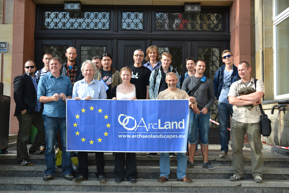
Welcome to the homepage of the EC funded project "ArchaeoLandscapes Europe" (ArcLand). Explore how aerial imagery and remote sensing is being used by archaeologists to understand our past.
The webpages will be updated with new content on the ArcLand project and on archaeological prospection in general during the life-span of the project, so please keep us book-marked and feel free to send us your comments and suggestions! You can also follow our activities on Facebook.

Explore the different technologies used to record archaeological features on and below the ground surface
| Noticias y Eventos |
The EU has accepted 7 new Associated Partners to widen ArcLand's network!
- Balla Secondary School (Co. Mayo, Ireland) has carried out a very interesting project together with Kevin Barton (Landscape & Geophysical Services) for 15-16 year old students which might even have a wider impact on second level teaching in Ireland. We hope to further support projects that get us (i.e. Archaeologists in general and ArcLand in particular) in touch with enthusiastic non-archaeologists like the group from Balla.
- The West Lothian Archaeological Trust (WLAT) in Scotland is heavily involved in Kite Photography for archaeology and we can learn a lot from John Wells' and his group.
- Dublin City Council has hosted the ArcLand conference "From Known Knowns to Unknown Unknowns" and is still hosting our exhibition "Traces of the Past". Their valuable support has provided ArcLand an improved communication with the wider public.
- The Department of Applied and Environmental Geophysics, Faculty of Natural Sciences of the Comenius University (Bratislava/Slovak Republic) will be involved in our networking activities and the exchange of expertise. They are focussing on the application of near surface geophysical methods in archaeological prospecting - namely potential fields methods and GPR.
- The Department of Classical Studies and Art, Art History, and Visual Studies at Duke University (Durham/USA) will be our hub across the ocean to broaden our network and to get in touch with things that are going on in the USA.
- The Institute for Archaeological Sciences of the Bern University/CH is (finally) our connection point in Switzerland and is engaged in developing new means for the transfer of knowledge for a broader public as well as in the empowerment of new generations of junior scientist. In addition to the classic techniques of archaeological excavations and surface surveys the institute applies extensive geophysical prospection work in combination with the interpretation of both optical and radar spaceborne remote sensing data.
- The EU funded project ARIADNE is dealing with topics of data infrastructure and will be our collaboration partner for these kind of questions.
More information will be available hopefully soon on the ArcLand website's partner section.
We are looking forward to a fruitful and intense collaboration with our new partners and are looking forward to meeting them on our workshops, field schools, conferences, sessions, plenary and WP meetings or alongside any other events!
Recent Articles
|
DART Heritage Remote Sensing Horizon Scanning Workshop 17 Julio 2013, 15.16  DART Heritage Remote Sensing Horizon Scanning Workshop
School of Computing, University of Leeds, United Kingdom
Tuesday, September 17, 2013 from 9:30 AM |
The Past for the Present – new methods of the study of the history of Polish-Byelorussian borderland 10 Julio 2013, 14.09  Date: July 29th- August 9th, 2013
Place: Supraśl (Poland)
Aim:
The main aim of the workshop is to promote the understanding of new methods in |
|
Workshop report: "LiDAR - innovative technology for archaeology" 03 Julio 2013, 12.06  The ArcLand workshop and training school "LiDAR - innovative technology for archaeology", organised by the Adam Mickiewicz University Poznań, |
2D-3D-4D… DIY Workshop – Digital Landscape “on demand” 26 Junio 2013, 18.04  Are you wondering what’s next in Digital Aerial Archaeology?
Do you agree there is much more in a JPG than “just” cropmarks or soilmarks?
Do you |
|
Aerial Archive Survey 2013 21 Junio 2013, 13.47  Create your free online surveys with SurveyMonkey , the world's leading questionnaire |
Aerial photographic archives – some preliminary results from an online survey 10 Junio 2013, 13.33 Introduction – WP 5
One of the eight work packages (WP) or key actions in the ArcLand project is Securing better exploitation of existing air-photo |
|
International Summer School "Drones Applied to Cultural Heritage and Archaeology" 05 Junio 2013, 10.20  International Summer School "Drones Applied to Cultural Heritage and Archaeology"
20-26 September 2013, Pontignano (Siena), Italy
The Summer School |


